
Using EM mapping to guide moisture probe placement in cotton fields
19 October 2026
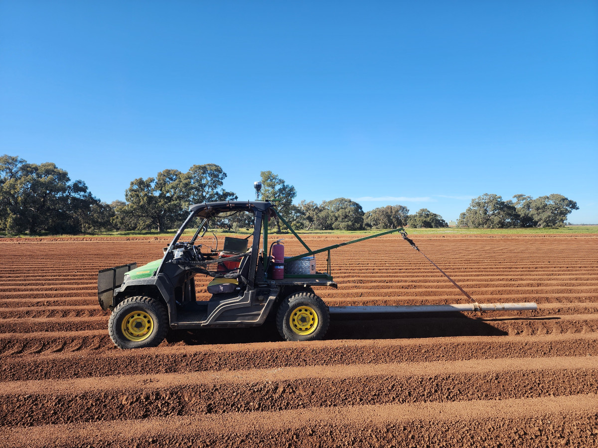
With the cotton season underway, OptiSoil has been EM mapping fields and combining the survey data with topography to help choose locations for soil moisture probes. The aim is to place probes in soil and slope classes that are representative of the areas they will be used to monitor for irrigation scheduling through summer.
Why probe location matters
A moisture probe measures conditions at its installation point. If that point sits in an unusual part of the field, its readings may not reflect conditions across the area being managed. Changes in soil and position on a slope can affect how water moves through the profile, so both are worth considering before a location is chosen.
What the mapping tells us
EM surveys measure apparent electrical conductivity. Readings can vary with soil moisture, salinity, clay content, texture and temperature. They show patterns that can help guide investigation, but they do not, by themselves, confirm a soil type or diagnose a constraint.
Looking at EM patterns alongside topography helps identify areas with different combinations of soil response and slope position. That gives growers and advisers a more informed starting point for selecting probe locations. Existing soil information, field observations and soil sampling can help check what the mapped patterns represent.
Where a field has distinct areas, one probe may not represent them all. Probe placement should reflect the irrigation question, the area each probe is intended to represent and what is practical to monitor during the season.
If you are planning moisture probe locations for cotton irrigation, OptiSoil can help review your EM, topography and existing field information before installation.
Read our follow-up article, Smarter Moisture Probe Placement Using Soil and Slope Mapping, to learn how this approach works in practice.